

Winter, what will this one bring from the area
This item is available in full to subscribers.
To continue reading, you will need to either log in to your subscriber account, below, or purchase a new subscription.
Please log in to continue |
BRIDGER VALLEY — What weather is being projected for the upcoming winter for the Valley and southwestern Wyoming?
“Farmers' Almanac: Winter will be 'teeth-chattering' cold
Get ready for a rough winter as The Farmers' Almanac is predicting a 'colder-than-normal' season from the Continental Divide on eastward, complete with 'teeth-chattering' cold arriving in mid-February in the Northeast, Great Lakes, and even into the Southeast.”
Also, reported on Fox News Wednesday morning was the following:
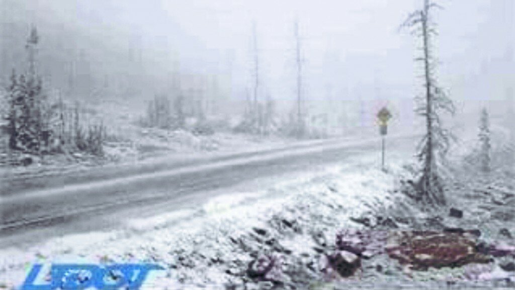
“High-elevation areas of Utah and Wyoming saw their first snow of the season on Tuesday, while mountain locals in Nevada near Lake Tahoe also saw a taste of frozen precipitation.”
"It begins," the NWS said in another tweet. "Showers this morning have brought some light snow to some areas above 10,000 feet, including Bald Mountain Pass in the Uinta Mountains.”
And a look at the Uintas Wednesday morning showed some accumulation of snow on the highest peaks. However, Channel 2 of Salt Lake City had reported a couple of weeks or so ago, September, October and November would be warmer than usual.
The Valley has been inundated with rain this week, some gauges showing a half inch, and rising to a full inch over Tuesday night.
The long dry spell was over and Utah news had said the northern part of Utah and the southwest Wyoming area had something like 21 days or more of no moisture. Worked great for the ranchers as they had little problems in being able to cut and put up their hay crop to get them through the up-coming winter.
As for the rain, which came this week, it definitely cleared the smoke from the area, which inundated the Valley over the weekend.
, a check on the internet said the smoke moving into the Valley was reported to be from the California fires and drifting into the area on the jet stream.
Further reported on Fox news about the lastest storm was, “In Wyoming, the NWS said a "potent early fall storm" was delivering "significant" amounts of precipitation to the area through Wednesday night, including rain that is forecast to turn to snow and continue throughout the day.
“Between one to three inches of snow was expected above 8,000 feet in the Teton and Gros Ventre Mountains, with four to 10 inches expected in elevations above 10,000 feet. Up to two inches of snow was also expected in Yellowstone National Park.
“While the cool air has plunged in the region, don't expect it to stick around for long. Temperatures are forecast to climb back to and above seasonable levels by this weekend, according to AccuWeather.
The Farmers’ Almanac is predicting that "bitterly cold winter conditions" will be in place from areas east of the Rockies all the way to the Appalachians, with the coldest outbreak of the season arriving during the final week of January and lasting through the beginning of February.”


